
cabin vibes paired with quality services
Welcome
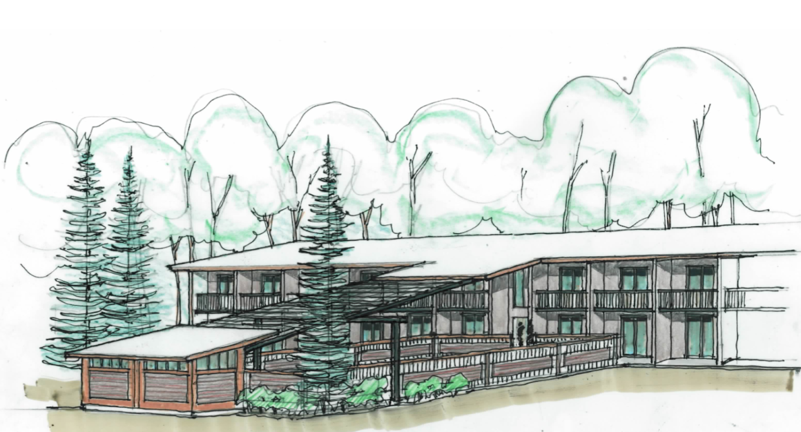
About us
Planning your next escape? It all begins with an adventure. Maybe you crave the serenity of riverside views. Maybe you seek the embrace of nature's call. Or maybe you're chasing sunsets in the heart of the mountains. Whatever your journey, the way you choose to unwind can make all the difference.
Yes, we honor AAA, AARP, and government/military discounts when available.
Amenities
-

Pet Friendly
Furry friends are welcome! We offer pet-friendly rooms for a small additional fee to ensure a comfortable stay for everyone.
-

Parking & EV Charging
Free parking for guests including RVs, trailers, and semi-trucks. Our 14kw Tesla EV charging station is free for guests too.
-

Laundry
Enjoy the convenience of our on-site washer and dryer, perfect for taking care of your laundry during your stay!
-

The Lemhi Room
Natural light and exposed brick? We got it! Host your next small conference or gathering in our event space.
Sleep soundly
by the River
Enjoy the natural soundtrack of the river and let it enhance your stay with a serene escape in our riverside rooms at The Stagecoach Inn.
Make yourself at home
-
Year Round Heated Salt Pools (Coming Soon)
Stay tuned for our upcoming year round heated salt pools!
-

Breakfast
Continental breakfast served from 6am - 9am daily.
Omelette Bar Add-On Available.

Airport shuttle
Enjoy the convenience of the Stagecoach Inn Ford Expedition, which provides complimentary shuttle service between The Stagecoach Inn and Lemhi County Airport. Just a short 9-minute drive, our shuttle ensures a comfortable and stylish start or end to your journey, enhancing your stay with seamless travel.

Tranquil
Riverfront Patio
From your patio, let the gentle sounds of flowing water, rustling trees, and the melodies of local wildlife create a peaceful backdrop for relaxation. Immerse yourself in nature’s beauty.
Walk through history
As you walk through the halls of The Stagecoach Inn, museum photographs line the walls, each telling a story of the town’s storied past. These captivating images offer a glimpse into Salmon's heritage, making your stay not just a retreat, but a journey through time.